EkoInfo_Fauna Surveys

Fauna Surveys

Micro to Macro Fauna Assessments

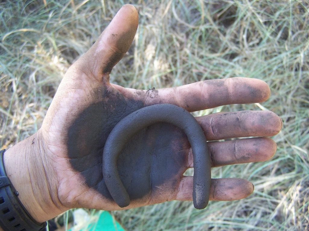
Faunal surveys conducted in association with taxa-specific specialists to assess species diversity, habitat suitability, and the presence of Red Data species as part of EIAs, EMPRs, and management planning.

EkoInfo_Flora Survey

Flora Surveys

Vegetation Description and Mapping

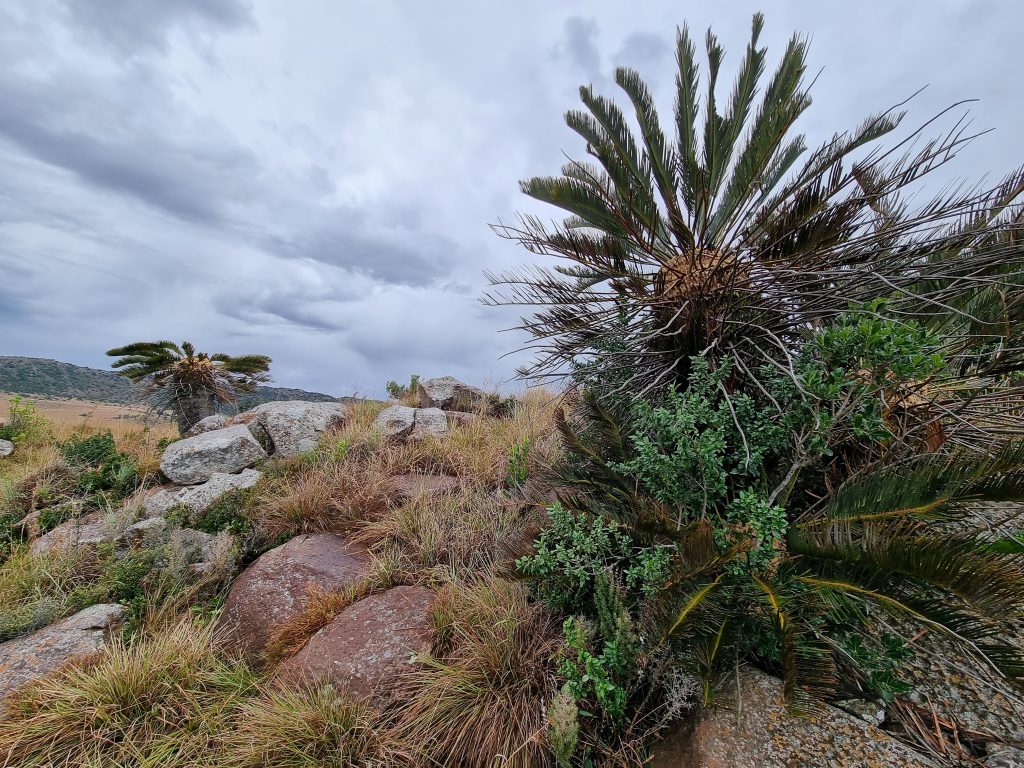
Baseline vegetation surveys, mapping, and monitoring using established phytosociological methods to support EIAs, EMPRs, land management planning, and conservation decision-making.

EkoInfo_Soil Surveys

Soil Surveys

Reconnaissance and Detailed Soil Assessments

Soil surveys conducted at reconnaissance or detailed level to inform EIAs, EMPRs, rehabilitation planning, agricultural potential assessments, and sustainable land-use decisions.

EkoInfo_GIS

Geographic Information Systems (GIS)

Spatial Analysis and Mapping

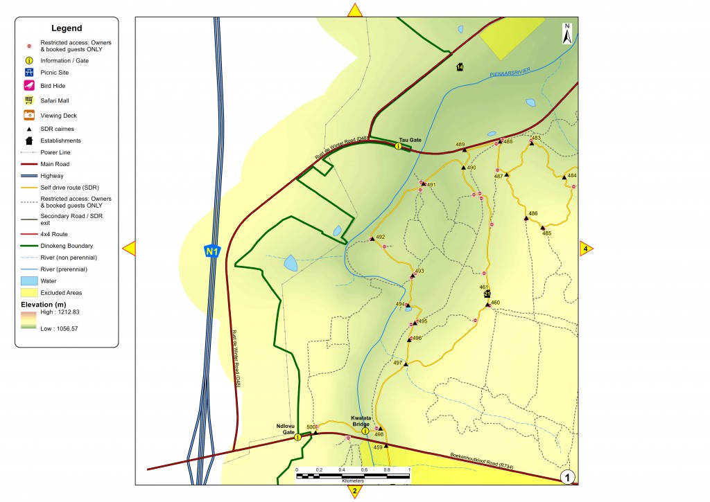
GIS-based analysis and mapping using recognised software platforms to compile, analyse, and present environmental and natural resource data in digital or hardcopy format.

Natural Resource Databases

National and Provincial Scale Data Systems

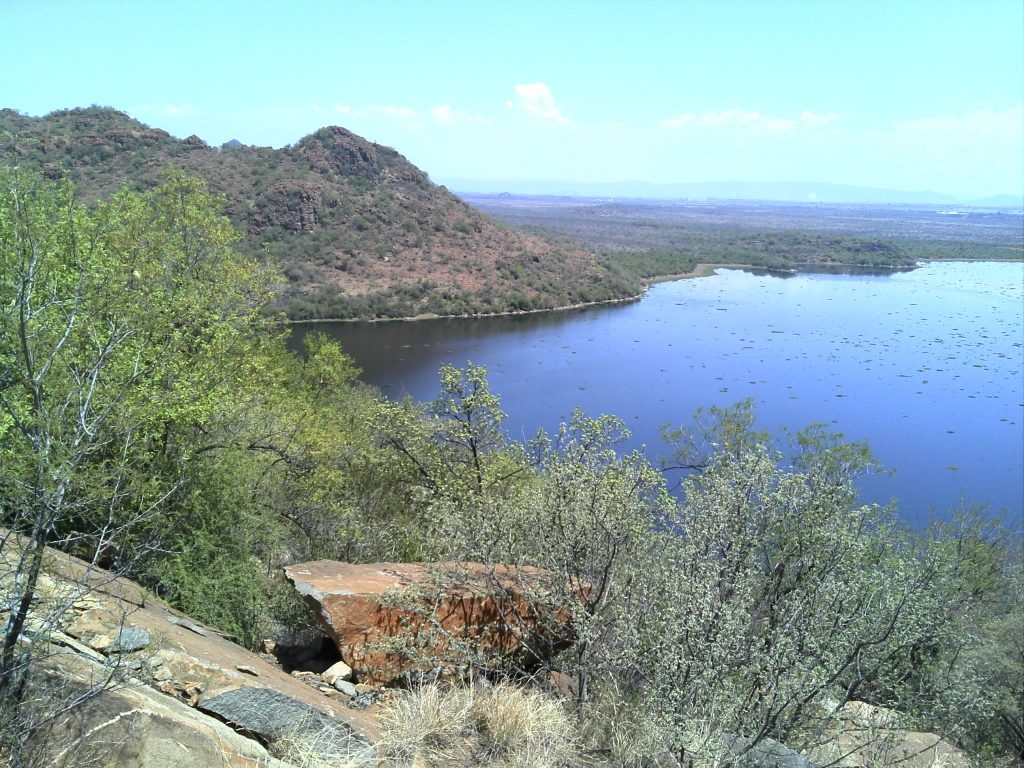
The collection, management, and analysis of natural resource data to support State of the Environment reporting, strategic environmental assessments, and long-term environmental monitoring and decision-support systems.

View Our Services

EkoInfo CC, with the assistance of other specialists, strives to provide a holistic, cost-effective and well-managed service to our clients.​

  • Environmental Impact Assessments (EIAs)
  • Environmental Management Program Reports (EMPRs)
  • Environmental Monitoring/Auditing
  • Game or Livestock Management Reports
  • Geographic Information Analysis/Management
EkoInfo_View Our Services

Ensure Smooth Environmental & Wildlife Management with EkoInfo

Scroll to Top