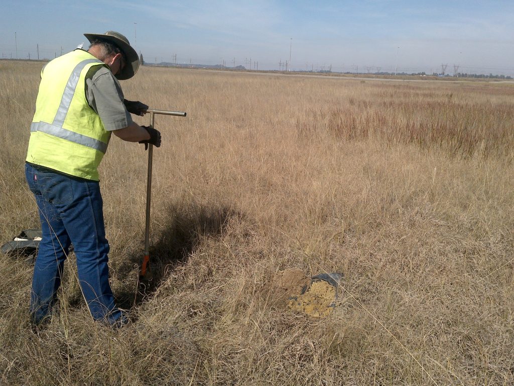
EkoInfo CC provides soil surveys on either a reconnaissance or a detailed level, depending on the project’s nature. These surveys form part of either baseline (Soil/Agricultural Potential, EIAs, EMPRs) or monitoring studies (Rehabilitation, Sustainable Management).
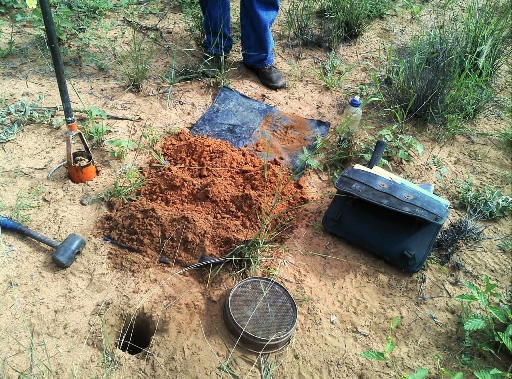
We start with soil surveys on a reconnaissance level during vegetation assessments to enable correlation between soil conditions and vegetation distribution. For more detailed assessments (land use planning) or assessments, which form part of EIAs or EMPRs, EkoInfo involves dedicated pedologists.
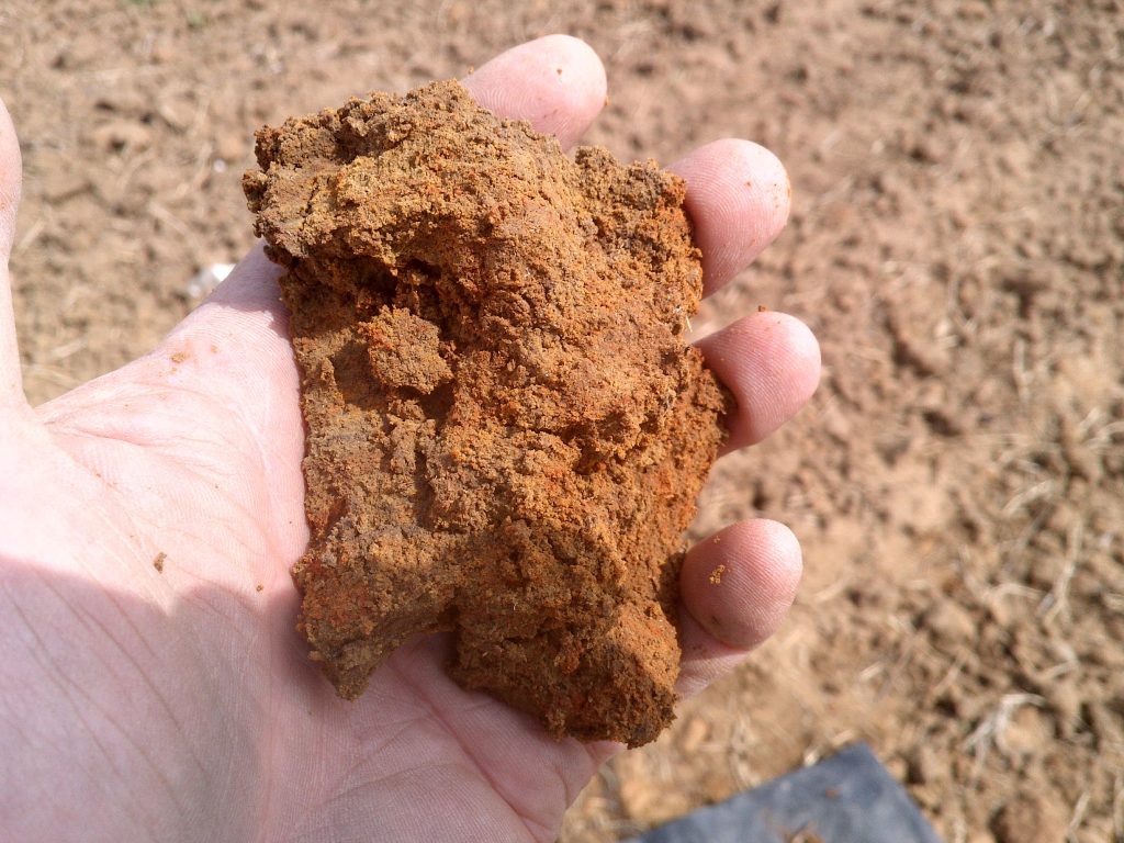
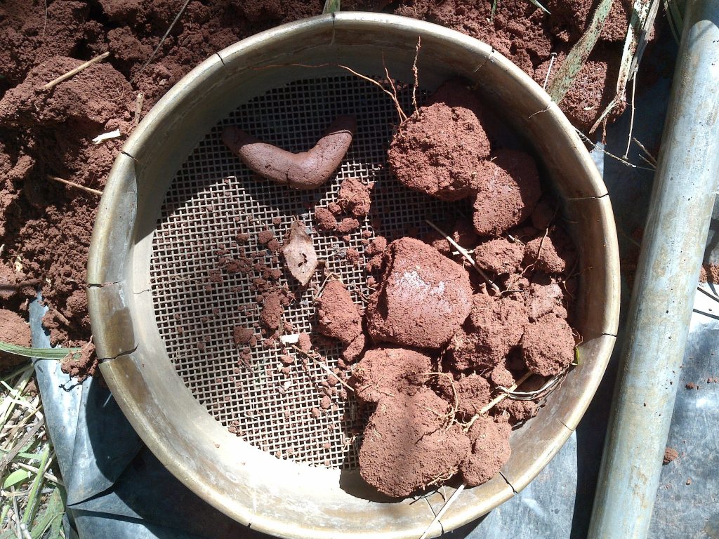
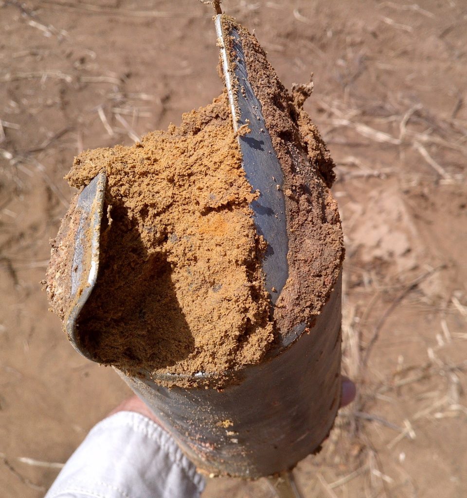
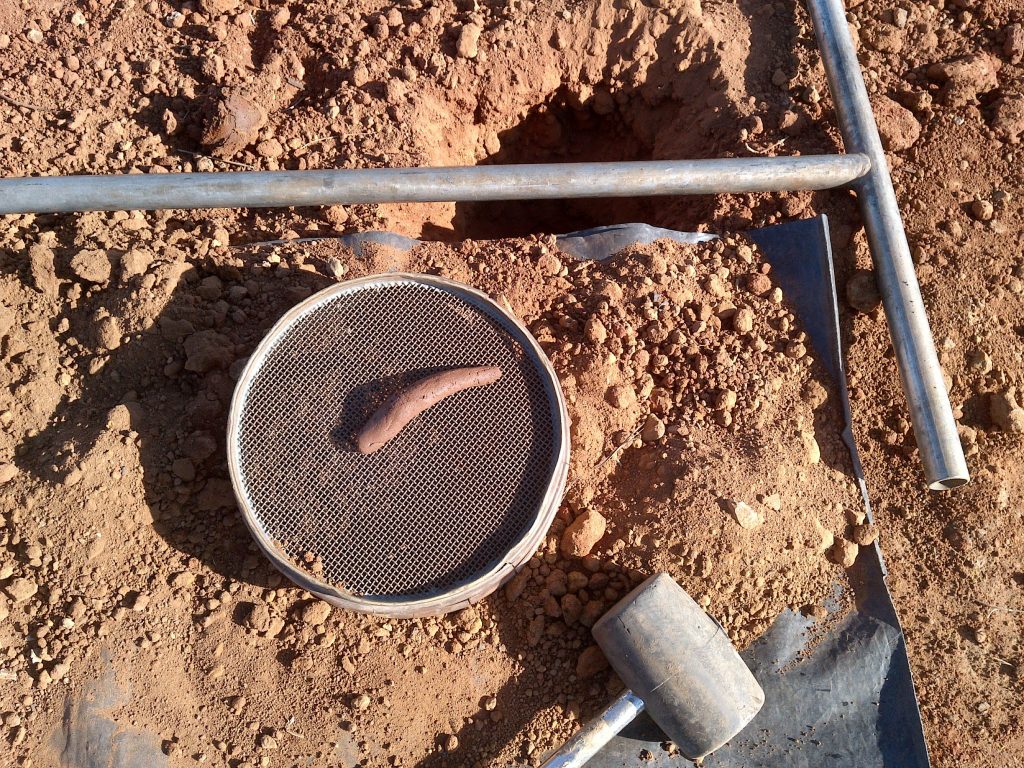
Soil reflects the influence of geology, climate, organisms, and topography over time. Soil represents an anchor for plants as well as a source of nutrients. Its physical (texture, structure) and chemical (nutrient content) properties determine which species will grow successfully in it.
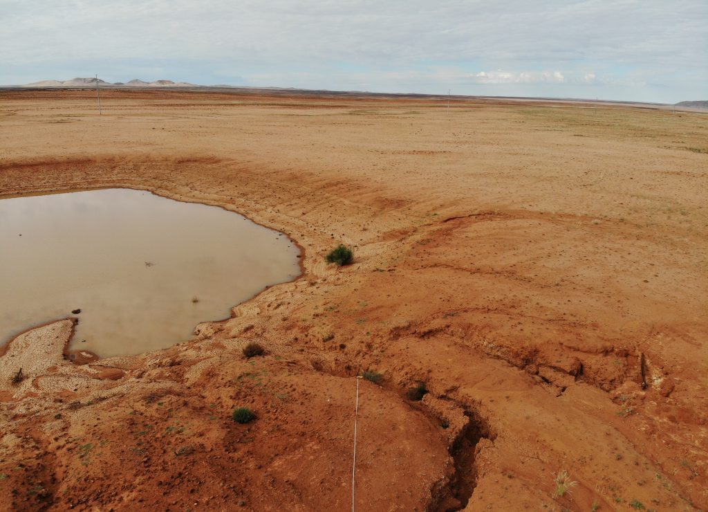
The conservation of soil is of the utmost importance. In the absence of sufficient soil, plants cannot establish themselves successfully, having disastrous consequences in the food chain. Therefore, soil surveys should be an important component of opencast mine rehabilitation and form the basis of sustainable land-use planning.